The Little River Canyon National Preserve Is Often Called the Little Grand Canyon
The Little River Canyon National Preserve is a beautiful park that protects over 14,000 acres of rugged mountainous country sitting on top of Lookout Mountain.
This gorgeous canyon has often been called the “Grand Canyon of the East” and it was carved out of the mountains thousands of years ago by this powerful river.
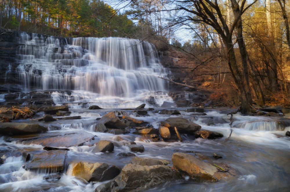
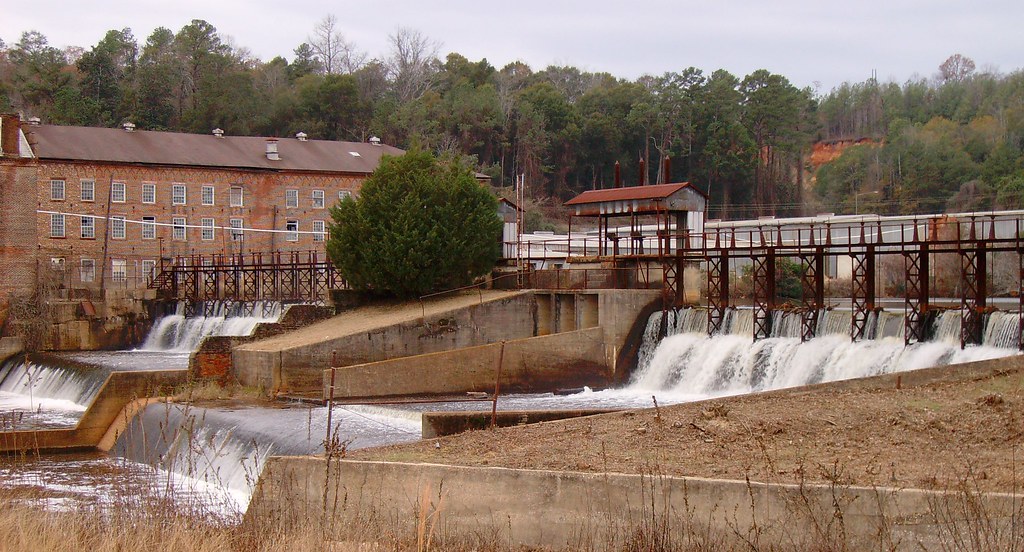
 Little River Falls Overlook
The Little River is one of the longest rivers in the United States, and it begins at 1,900 feet above sea level and then drops over 1,200 feet before it finally merges with Weiss Lake.
The History of Little River Canyon
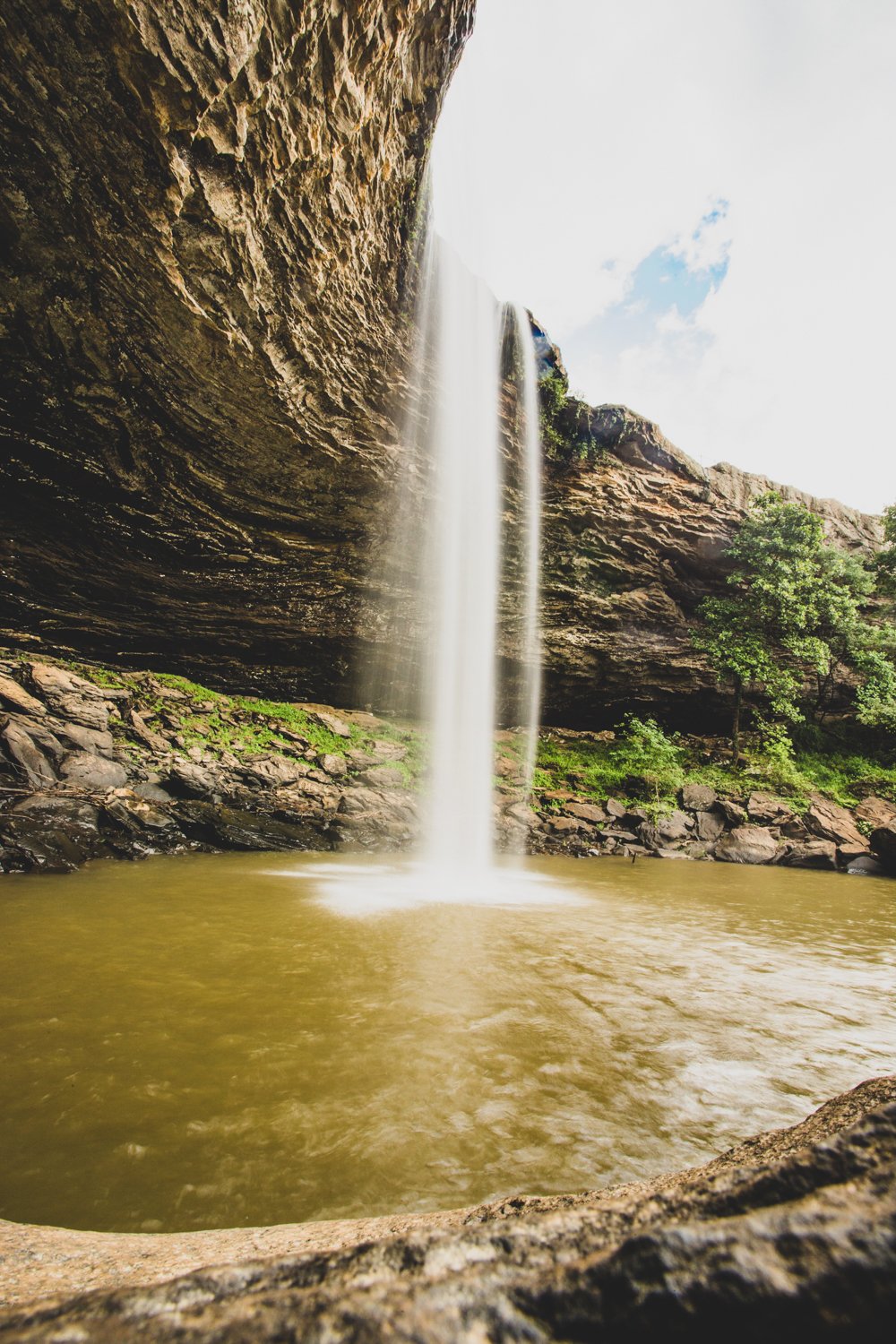
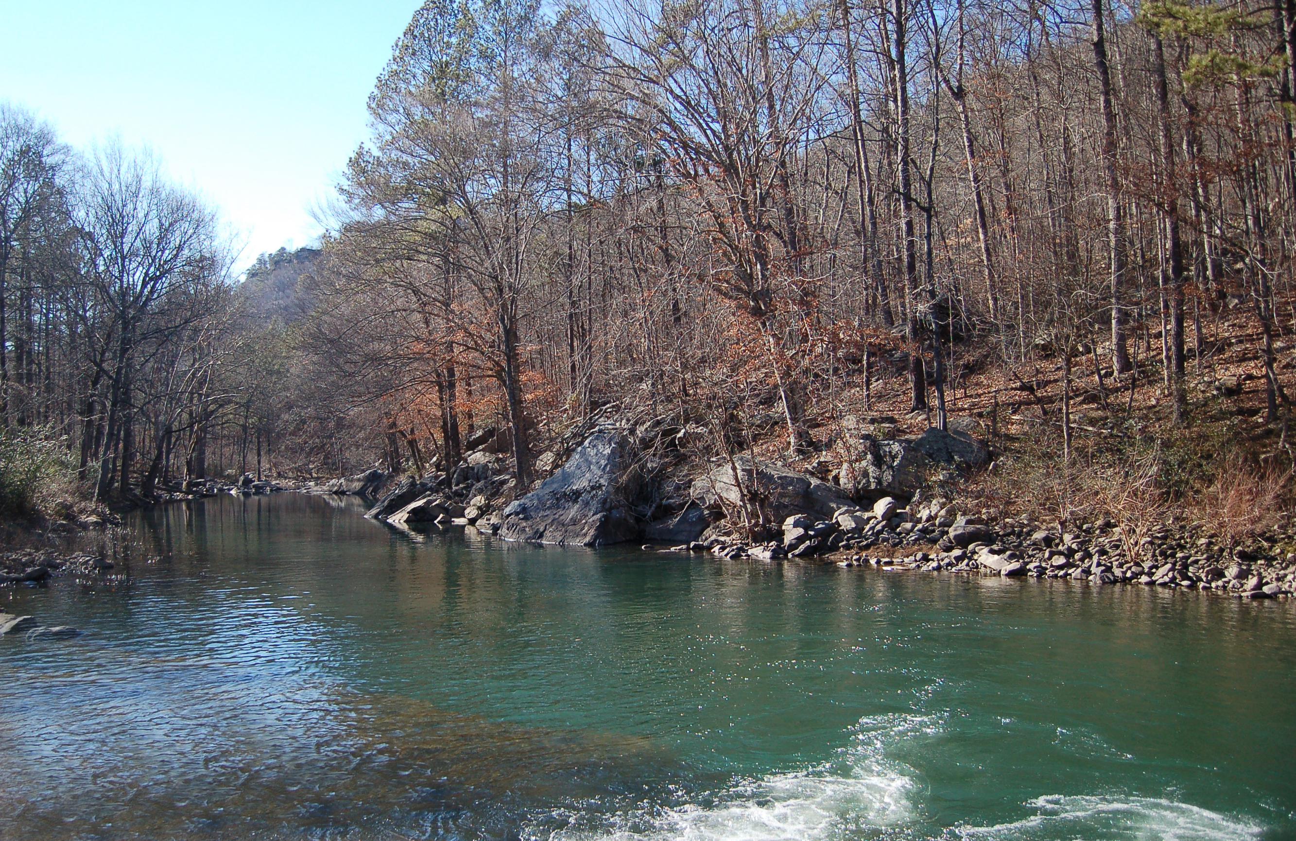
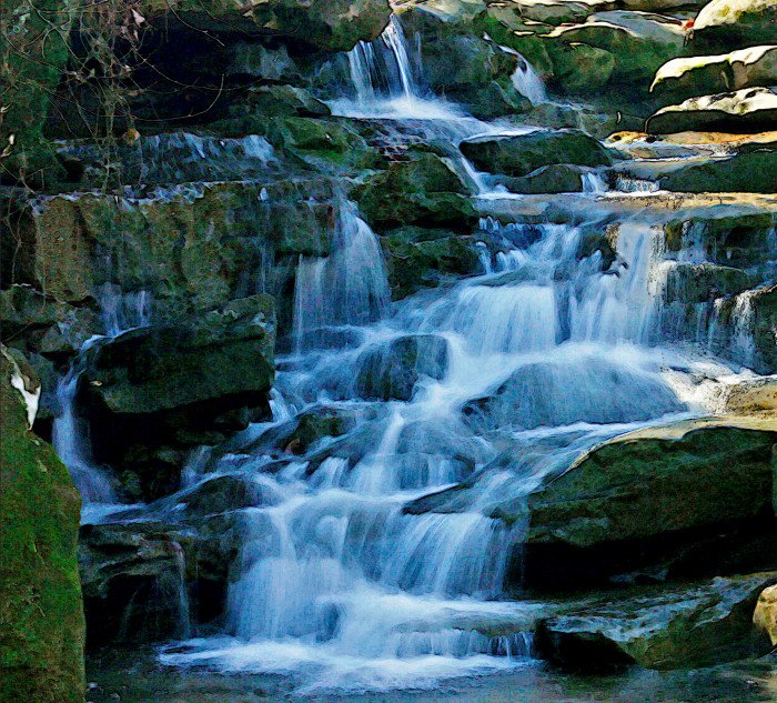
 Little River Canyon Picture One
Along its natural course, the Little River has carved a wondrous canyon that is over 12 miles long and drops to depths of 600 feet in some places.
While it is not nearly as big as the Grand Canyon, these dimensions make it very similar in overall nature.
The Little River Canyon is not only some of the most beautiful raw land in the entire south; it is some of the most historic as well.
It is almost a perfect boundary between what used to be the Cherokee and the Muscogee nations, and has been used for rich hunting grounds for thousands of years.
Most scholars believe that Hernando De Soto and his army of Spanish conquistadors passed somewhere near this canyon in the year 1540.
While this has been debated for years, archaeological researchers from Jacksonville State University are finally providing some real answers.
They have uncovered what appears to be a major site near Centre and just across from Lake Weiss, near the mouth of the Little River Canyon.
There were other Spanish explorers in the area as well, as Tristan de Luna explored this same area in 1559.
He was looking for major source of food that would supply his new colony on the Gulf Coast, but he basically struck out.
The reason for this was simple; his fellow Spanish explorer DeSoto had laid waste to the area towns and fields almost 20 years prior.
There were other explorers that followed, and American settlers moved into the region after it officially became part of the United States.
However, the population growth was very slow, as it was still seen as a “wilderness” that was raw and untamed.
Little River Canyon and the Civil War
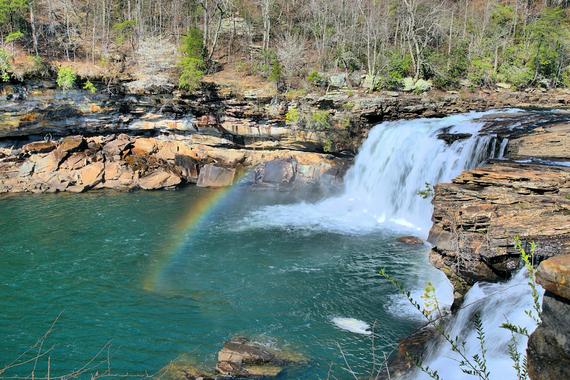
 Little River Canyon Picture Two
After the fall of Atlanta, the Union Army of General William Teumseh Sherman arrived at the Little River Canyon in 1864.
His was in hot pursuit of the Confederates under the direction of General John Bell Hood.
When General Hood could not be flushed out of Little River Canyon by General Sherman, Sherman turned around and went back to Georgia.
He was getting set for his historic” March to the Sea” Campaign and did not want to wait to try flushing the confederates out of out this rugged wilderness.
There was one other connection between Little River Canyon and the Civil War: deserters.
This rugged canyon was one of the most popular hiding places for organized deserters as well as Unionists during the war.
Once they knew they were not being pursued, they would raid the local communities and farms.
The Little River Falls is a huge part of not only the canyon, but the National preserve as well.
The Little River Canyon and Its Establishment as a State Park
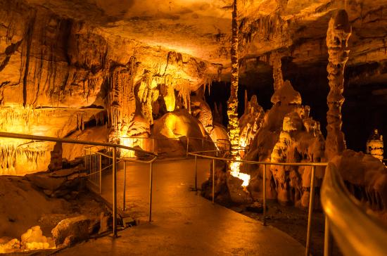
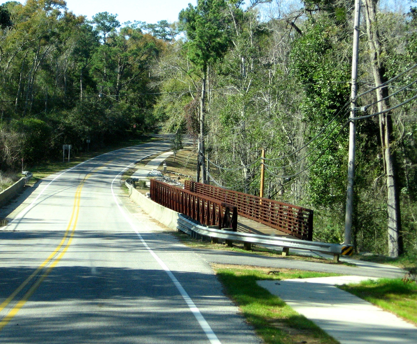
 Little River Canyon Picture Three
Throughout the turbulent 1800’s and the early 1900’s, this rugged canyon remained a place of both majesty and spectacular beauty.
The establishment of the DeSoto State Park was the first step in the preservation process, but the visiting public was crying out for more to be done.
It received a helping hand from one of the most the most unusual of sources, the Country Rock band Alabama.
In fact, all of the members played a key role in organizing and getting other local residents to work on making it a state park.
In the year 1992, something even better finally happened; the Little River Canyon was made a federal park.
The best way to explore the entire canyon is the Canyon Rim Drive.
This is a paved road that leads you form the Alabama Old Highway 35 near Fort Payne south, into the canyon mouth at Weiss Lake.
Once there, it gives the vast majority of its visitor’s total access to several outlooks, picnic areas, trailheads, as well as stunning natural vistas.
Because of its natural beauty and central location, this is one of the most popular of the Alabama backroads day trips.
References
https://exploresouthernhistory.com/littleriver1.html
You might like these
Alabamas Amazing Waterfalls
Most people do not know that Alabamas Amazing Waterfalls are very easy to get to, if you know where they are located.
Noccalula Falls
Noccalula Falls is a stunningly beautiful 90 foot waterfall, which is located at the western end of Lookout Mountain, in Gadsden Alabama.
Little River Falls
The Little River Falls is considered to be one the most scenic as well as one of the most accessible waterfalls in the entire south.

Alabama Gift Store
Numerous Items for You and Your Family to Enjoy
See it here at the Gift Store
Copyright 2019-2023 Alabamabackroads.com
All Rights Reserved
Popular Articles

Little Known Facts

Folk Life

Auburn Day Trips

Tuscaloosa Day Trips


